

 Home
Home Menu
Menu 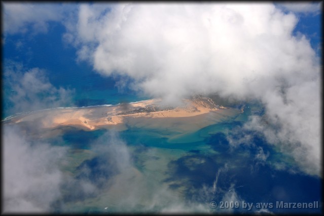

Land & Leute
Mosambik
Land in Ostafrika
Amtssprache Portugiesisch
Hauptstadt Maputo
Staatsform Republik
Fläche 801.590 km²
Einwohnerzahl 29 Millionen (Stand 2017)
Bevölkerungsdichte 31 Einwohner pro km²
Währung Neuer Metical
Unabhängigkeit 25.Juni 1975 (von Portugal)
Zeitzone UTC +2

Geographie
Entlang der 2800 km langen Küste befindet sich ein breites Küstentiefland.
Es bedeckt den größten Teil des Südens,
doch wird es von der Sambesimündung
nach Norden hin schmaler.
Hinter der Küste steigt das Land stufenförmig
bis zum zirka 1000 m hohen Tafelland des Hochfelds an.
Der höchste Berg ist der Monte Binga in der Provinz Manica (an der Grenze zu Simbabwe) mit 2436 m.

△ top
(zum vergrößern Bild anklicken)
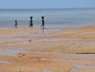
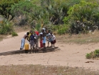
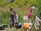
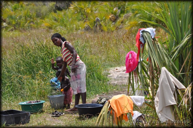
Frauen mit Kind
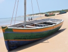
Fischerboot
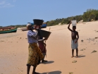
Frauen mit Kind
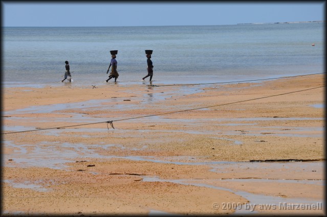
Frauen mit Kind
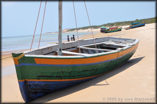
Fischerboot
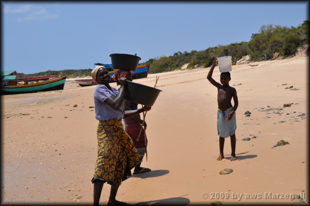
Frauen mit Kind
Bevölkerung
Der Großteil der Gesamtbevölkerung gehört Bantuvölkern an.
Das größte Volk bilden mit etwa 40 % Bevölkerungsanteil die Makua,
daneben sind mit 21 % auch die Tsonga eine einflussreiche Gruppe.
Die Yao, welche auch in Malawi leben, bilden 12 % der Bevölkerung,
daneben sind mit 11 % auch die Makonde im Nordosten eine starke Minderheit.
Die Volksgruppe der ostafrikanischen Swahili lebt im
Küstengebiet und macht 7 % der Bevölkerung aus.
Zudem leben noch mit einem Anteil von 4 % an der
Bevölkerung die Chewa im Land ? ihr Hauptsiedlungsgebiet ist Malawi.
Die kleinere Minderheit der 3 % Shona im Westen bildet ihrerseits
wiederum die Bevölkerungsmehrheit in Simbabwe.
△ top
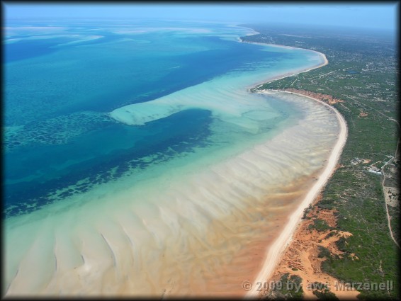
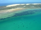
Das Bazaruto-Archipel ist eine Gruppe von sechs Inseln
in Mosambik, nahe der Festlandstadt Vilanculos.
Es umfasst die Inseln Bazaruto, Benguerra, Magaruque,
Banque, Santa Carolina und Shell.
Nyati Island liegt weiter südlich.
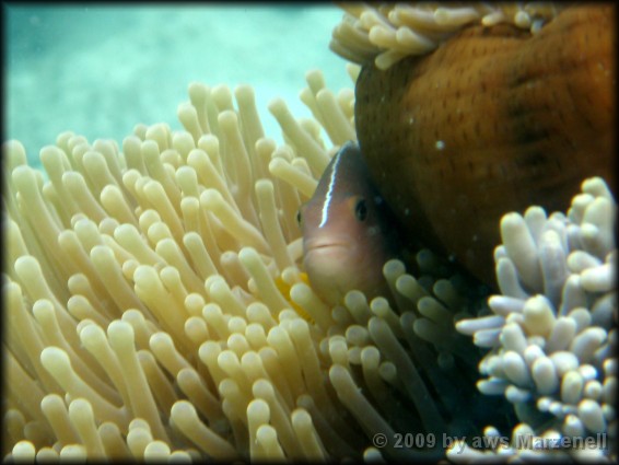
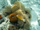
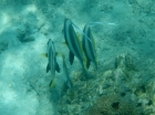
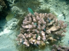
Der Bazaruto-Nationalpark in Mosambik zählt
zu den Hauptattraktionen im Land und zu den
größten marinen Schutzgebieten in Afrika.
Doch Touristen kommen nur selten.
(zum vergrößern Bild anklicken)
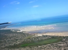
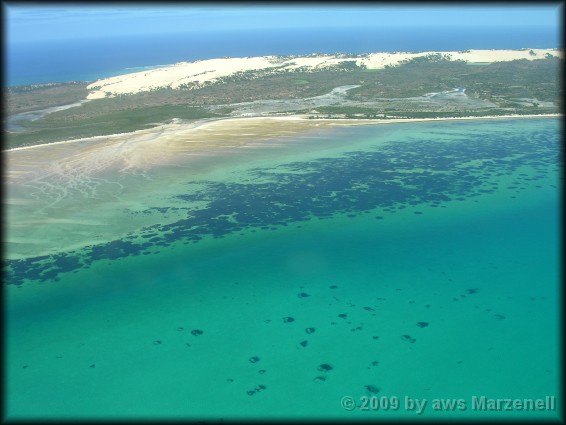
Anflug auf Vilanculos
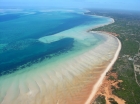
Anflug auf Vilanculos
Vilanculos
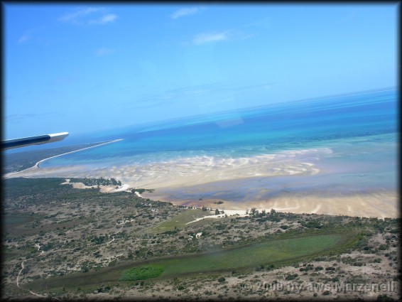
Anflug auf Vilanculos
Anflug auf Vilanculos
Vilanculos
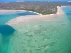
Bazaruto
Bazaruto
Bazaruto
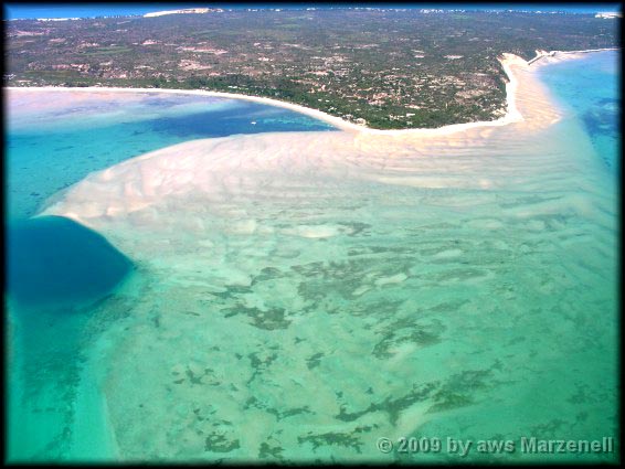
Bazaruto
Bazaruto
Bazaruto
△ top
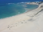
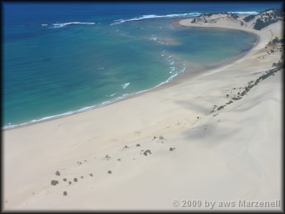
Bazaruto ist eine sandige Insel,
die etwa 80 Kilometer südöstlich der Mündung
des Flusses Save in Mosambik liegt.
Hauptort ist Asneira an der Westküste
(zum vergrößern Bild anklicken)
Leuchtturm auf Bazaruto
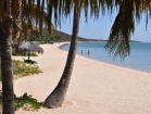
Indigo Bay Resort
Indigo Bay
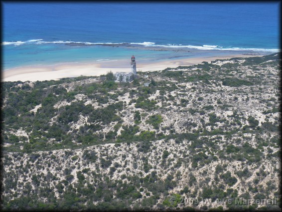
Leuchtturm auf Bazaruto
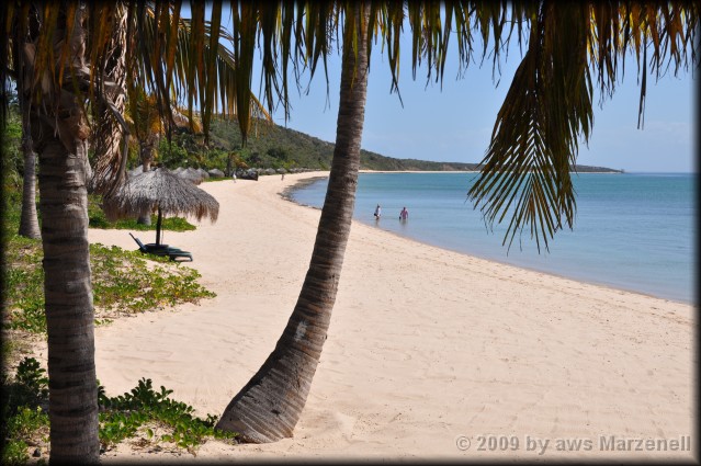
Indigo Bay Resort
Indigo Bay
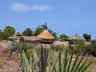
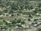
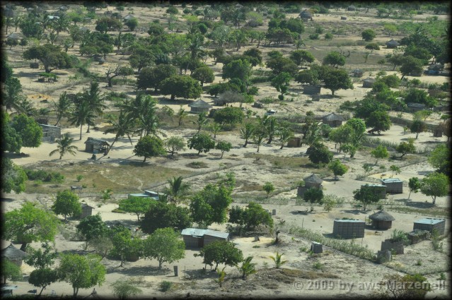
Dorf auf Bazaruto
Dorf auf Bazaruto
Dorf auf Bazaruto
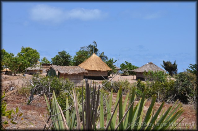
Dorf auf Bazaruto
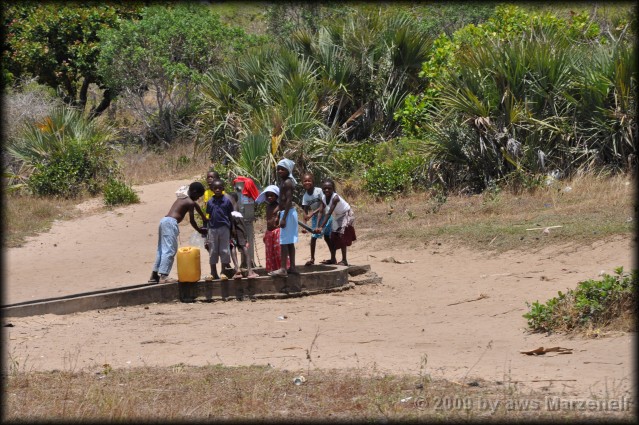
Dorf auf Bazaruto
Dorf auf Bazaruto
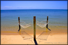
Bazaruto
Bazaruto
Bazaruto
Bazaruto
Bazaruto
Bazaruto
Bazaruto
Bazaruto
Bazaruto
Bazaruto
Bazaruto
Bazaruto
△ top
Quelle : Wikipedia & Wissen.de
© Mosambik by aws Marzenell - All photos created September 2009

Quelle : Wikipedia & Wissen.de
© Mosambik by aws Marzenell - All photos created September 2009